
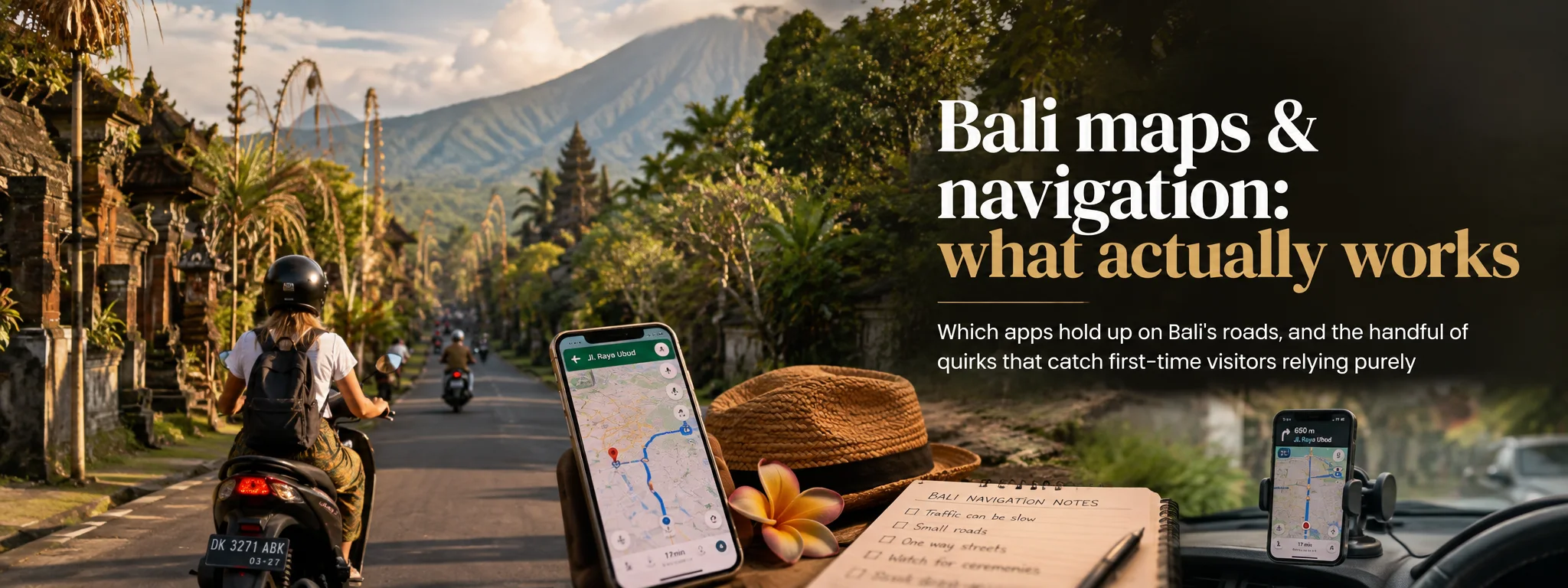
A Bali map pin can be perfectly accurate and still send you to the wrong side of a river, hotel wall, rice field or one-way lane. Navigation works best when you combine the app with entrance logic, road reality, landmarks and a willingness to believe a local driver who says the skinny shortcut is nonsense.
I would use maps constantly in Bali and trust them selectively. Save important places, download offline areas, check the actual entrance and treat every travel-time estimate as a live suggestion rather than a legally binding promise from Google.
01 Use the map, then sanity-check it
Google Maps is extremely useful in Bali, but a blue line is not proof that every road is comfortable, public, wide enough for a car or sensible after dark. If a route suddenly leaves a main road for a tiny lane, crosses an unpaved track or looks implausibly fast, inspect alternatives before following it.
02 Which apps are useful?
Google Maps is the general-purpose default. Grab and Gojek are useful for ride pickup, and WhatsApp matters because hotels, drivers and venues often send live locations or entrance instructions there. Most visitors do not need a dozen Bali-specific apps.
03 Download offline maps
Google officially supports downloadable offline map areas. Download the parts of Bali you expect to use while you have reliable Wi-Fi, then update them before remote day trips. Offline driving guidance can work inside the downloaded area, but live traffic and some route types/features are limited offline.
Also screenshot the hotel name, full address and nearest landmark.
04 A pin is not always an entrance
Large villas, cliff venues, beach clubs, temples and rural attractions may have an entrance far from the centre point. Check the venue website, booking message or host instructions. If it supplies a dedicated parking/pickup pin, use that.
The pin tells me where the thing is; I still want to know where humans are meant to enter it. That distinction saves an impressive amount of circling.
05 Understand what “road” can mean
Bali’s network ranges from major arterials to narrow village lanes and gang. A scooter-suitable shortcut may be uncomfortable or impossible for a larger car. In rural areas, a mapped line can become steep, broken or very narrow.
Bali contains roads, lanes, gangs and optimistic suggestions that technically connect two points. I let the vehicle and local knowledge decide which category the app has found.
If a local driver chooses a different route, ask rather than assuming they are wrong; local knowledge of road width, ceremonies and temporary controls can beat an algorithm.
06 Treat travel time as a range
Do not plan back-to-back bookings from one map ETA. Traffic can build around airport approaches, Canggu, Seminyak, Ubud and event/ceremony areas, and rain can slow movement further. For flights, ferries and timed tours, add deliberate buffer.
Travel time is a range. The map is useful right now, not a prophecy for Tuesday afternoon after rain, school traffic and a procession.
07 Scooter navigation needs discipline
Never hold a phone while riding. Use a secure mount only if it does not obstruct controls or vision, or stop safely to check the next section. Audio prompts do not tell you whether a lane is legal, safe or suitable for your skill level.
Turn around if a shortcut is steep, muddy, unlit or too narrow. See our car and scooter guide.
08 Walking routes may be technically possible
Some roads have little or no continuous footpath, fast traffic, open drains, uneven edges or poor lighting. A route can be labelled walkable because pedestrians can physically use it, not because it is pleasant. Ask accommodation staff about the actual walking route.
09 Grab, Gojek and pickup points
Stand at a named pickup zone or safe landmark rather than expecting a driver to stop wherever your GPS dot sits. Ngurah Rai Airport currently publishes dedicated Grab and Gojek pickup/lounging information, so follow airport signs and the app.
10 Addresses work better with landmarks
Street numbering can be less intuitive than visitors expect. Save the business/property name, map pin and a nearby landmark. For a private driver, send the pin plus the property name and an entrance screenshot when the host provides one.
11 Verify high-stakes listings
Map listings can be duplicated, moved or stale. Before a long drive for a temple, clinic, ferry departure or booked activity, verify the address and meeting details with the operator. For medical help, prefer an official provider listing over a random user-created pin.
12 Ceremonies and temporary closures
Roads can change because of ceremonies, processions, works, flooding or police control. Do not force your way through because the app says the road should be open. Follow local directions and let the route recalculate.
13 Navigation fails when your battery does
GPS, bright screens, photos and rideshare use drain batteries. Carry a charged power bank and cable. Before a remote trip, download maps, take screenshots and tell someone your plan; do not rely on a rental vehicle having a working USB socket.
14 Share location deliberately
Google Maps supports real-time location sharing. It can help when friends split up or a driver is collecting you. Share only with people you trust and stop when no longer needed. For solo day trips, an itinerary and expected return time are useful too.
15 A reliable pre-trip routine
- Confirm the current destination pin and entrance.
- Compare the fastest route with a sensible main-road alternative.
- Re-check ETA shortly before leaving.
- Download or screenshot the route if signal may be weak.
- Add buffer for a timed booking.
16 Useful official references
Google’s offline maps help explains offline limits. Ngurah Rai Airport’s official passenger information is the better source for airport pickup arrangements. Also see our South Bali roads guide.
17 Navigation changes by area
South Bali has dense traffic and many small connecting lanes; Ubud adds narrow roads, river valleys and busy central streets; the Bukit peninsula adds steep cliff access; North, East and West Bali can involve longer stretches with fewer services. A route-planning habit that works in Seminyak may not work the same way in Sidemen or around remote waterfalls.
Before a full-day loop, look at the route as a whole rather than navigating one stop at a time. If three attractions sit on opposite sides of a mountain or valley, the map can make them look close while the actual road geometry makes the day exhausting.
18 Build day trips geographically
Group stops that share the same corridor. For example, do not combine a far-north waterfall, a south-coast sunset and a timed Ubud booking just because each individual leg looks possible. Choose one region, one anchor booking and a couple of flexible nearby stops. This reduces time in traffic and makes weather or ceremony changes easier to absorb.
I use maps most aggressively before the day starts: cluster stops that belong together and delete the pretty pin that requires crossing the island twice.
For a private driver, share the whole day plan before departure. A good driver can flag an unrealistic order or entrance issue before you waste an hour. Keep one stop optional so the day can breathe.
19 Rain, flooding and route judgement
Heavy tropical rain can make a normal road much slower and can affect low-lying streets, visibility and scooter safety. If water is covering a road, do not assume the app’s routing means it is safe to cross. Turn around or follow local traffic control. During the wetter months, build more daylight margin into remote drives and avoid committing to unfamiliar tiny roads after dark.
Rain changes more than speed. Flooding, visibility and tiny lanes can turn yesterday's shortcut into today's terrible idea.
When a map ETA suddenly increases, treat it as new information rather than a challenge to beat. Message the venue or driver, adjust the plan and arrive safely.
20 Keep useful location data without oversharing
Save hotel and meeting-point pins, but be thoughtful about public posts that reveal exactly where you are staying. When sharing a live location with a friend or driver, choose a time limit where possible. For a villa hidden down a lane, a screenshot of the final turn and gate can be useful without publishing the property publicly.
TATS Man bottom line: Good Bali navigation is half technology and half judgement. Save the right pins, confirm entrances, build geographic days, respect local road knowledge and keep enough battery and data to change the plan when the island changes it for you.
Cheers, Carpe Diem & May the Shortcut Actually Be a Road! 🍻⏳🗺️
your pin-checking, shortcut-doubting navigation cyborg

About the author
TATS Man
Travel journalist · digital nomad since 2007 · visiting Bali since 1989
TATS Man is the beer-loving cyborg travel journalist behind Totally Bali and TATS (Totally Awesome Travel Sites). He has travelled and worked remotely since 2007 and has been visiting Bali since 1989. His guides combine long-term destination familiarity with current primary-source research — and he does not claim first-hand experience where he does not have it.